|
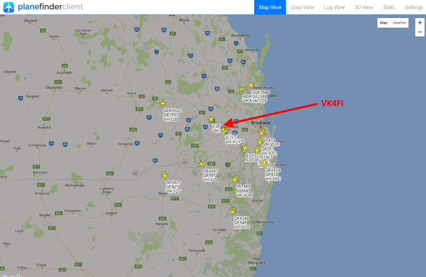
ADS-B is a system in which
electronic equipment onboard an
aircraft automatically broadcasts
the precise location of the aircraft
via a digital data link.
The data can be used by other
aircraft and air traffic control to
show the aircraft’s position and
altitude on display screens without
the need for radar.
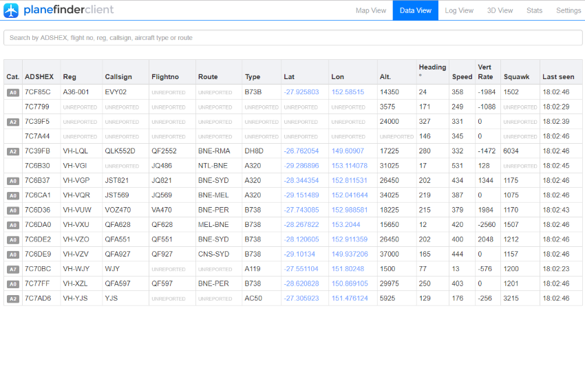
The system involves an aircraft with
ADS-B determining its position using
GPS. A suitable transmitter then
broadcasts that position at rapid
intervals, along with identity,
altitude, velocity and other data.
Dedicated ADS-B grounds stations
receive the broadcasts and relay the
information to air traffic control
for precise tracking of the
aircraft.
Automatic – Requires no
pilot input or external
interrogation.
Dependant – Depends on
accurate position and velocity data
from the aircraft’s navigation
system (eg. GPS).
Surveillance – Provides
aircraft position, altitude,
velocity, and other surveillance
data to facilities that require the
information.
Broadcast – Information is
continually broadcast for monitoring
by appropriately equipped ground
stations or aircraft.
ADS-B data is broadcast every
half-second on a 1090MHz, digital
data link.
Broadcasts may include:
-
Flight
Identification (flight number
callsign or call sign)
-
ICAO 24-bit
Aircraft Address (globally
unique airframe code)
-
Position
(latitude/longitude)
-
Position
integrity/accuracy (GPS
horizontal protection limit)
-
Barometric
and Geometric Altitudes
-
Vertical Rate
(rate of climb/descent)
-
Track Angle
and Ground Speed (velocity)
-
Emergency
indication (when emergency code
selected)
-
Special
position identification (when
IDENT selected)
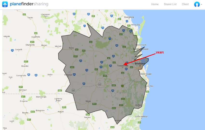
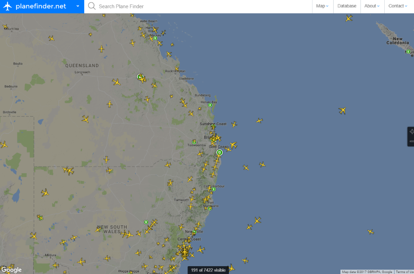
The ability of a ground station to
receive a signal depends on
altitude, distance from the site and
obstructing terrain. The maximum
range of each ground station can
exceed 250 nautical miles. In
airspace immediately surrounding
each ground station, surveillance
coverage extends to near the
surface.
|